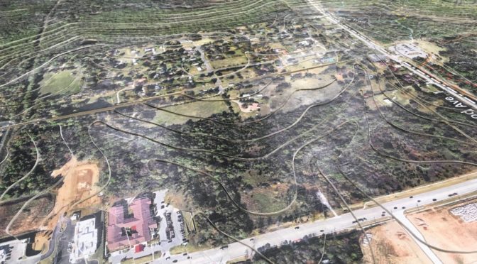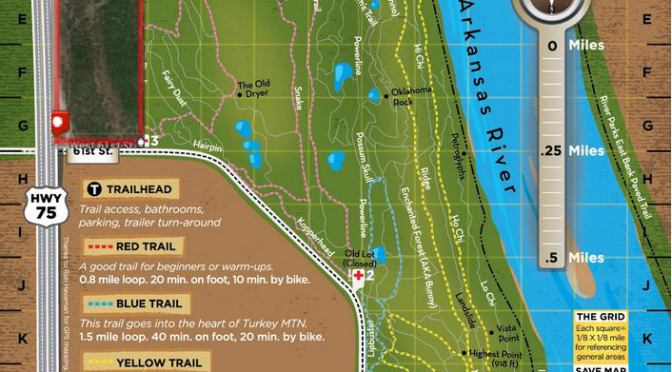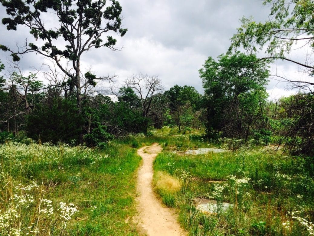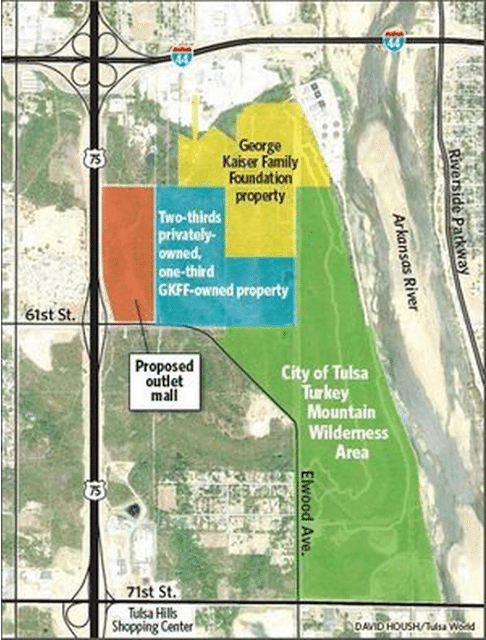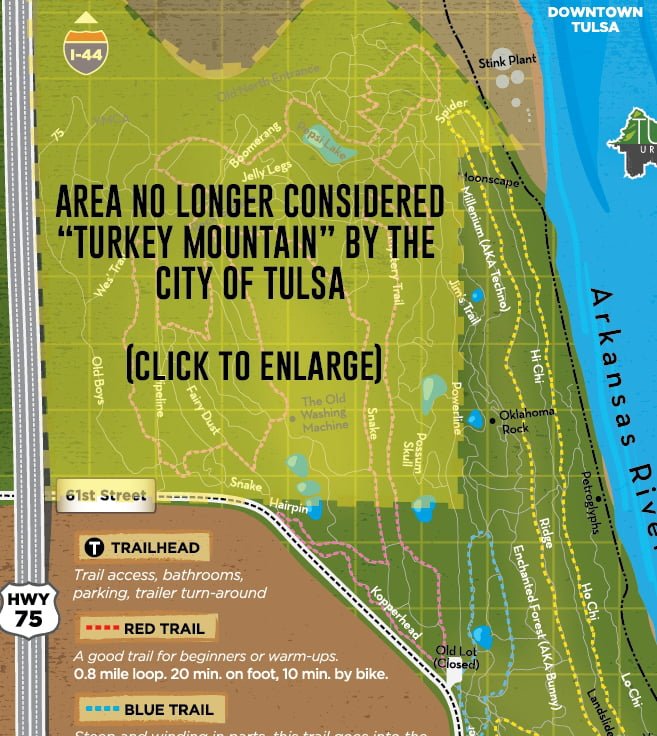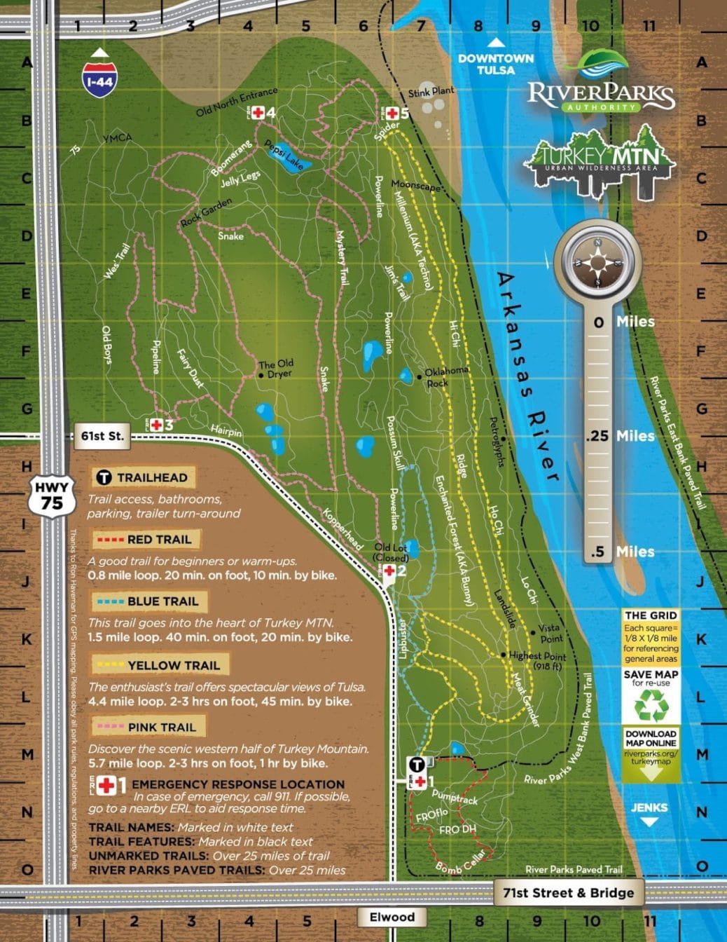
As you can see, a couple of the trails are going to be affected. The vast majority of the wilderness area, on both public and private land, will not be touched. The Simon Properties development will be on a small part of the western-most edge of the area. The INCOG trail map puts things in perspective best: it shows how large the entire area is compared to the size of this private lot. It also very clearly shows who owns what land — some of it is city, some of it is private, some of it is owned by the YMCA.
You can also see a lot of light grey dividing lines. These are individual lots. Who exactly owns these lots, what’s the zoning for them and are they in danger of being purchased and developed as well? We’ll answer that next.
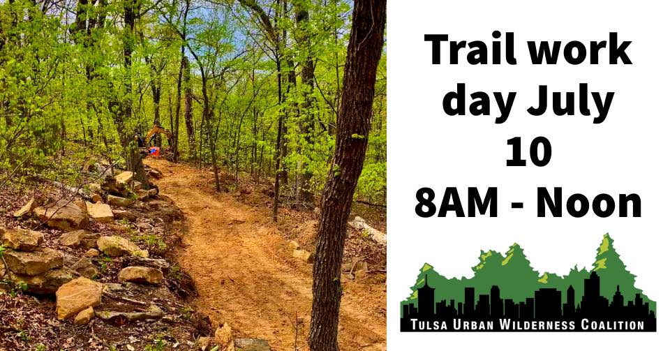
Categories:
Uncategorized